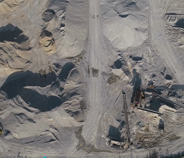
Nearly 10,000 drones are being used or destroyed per month in the Ukraine & Russia conflict. These low cost and small-sized units, combined tactically with the sheer number of active drones in the battlefield, has proven critical in this “David vs. Goliath” stand-off, where multi-million-dollar military hardware have been heavily impacted in a war of(economic) attrition.
Asper conflicts in the past, we’re noticing benefits of the research and development, currently being conducted in military drone applications, starting to trickledown to the commercial drone industry. It is not just the new technological gains we are seeing in drone hardware, but also the low-cost approach and inventiveness, such as cardboard drones being able to fly over hundred kilometres, which can also be adapted to provide emergency logistics (in flooding scenarios) or search & rescue applications.
The engineering and development of open-source auto-pilots (such as Ardupilot)has also received a boost. These flight controllers, once requiring hours of manual configuration and intervention are now becoming more automated, with improvements that combines the input of the GPS, accelerometer and gyroscope to make long-range drone operations more reliable and cost-effective.
How does this play out in the commercial drone market and where does AI fit in?
Essentially, military applications on a large scale have set the stage for the commercial world to implement large-scale drone swarms, and drone-in-a-box systems – in particular, for on-going commercial and industrial applications.
When you can the lower the overall cost of data acquisition and implement such highly networked systems within a single IT and decision-making structure, the possibilities to automate geospatial workflows in real-time are endless.
In recent months, we have seen autonomous drones and AI solutions replace manual inspections in detecting water pipeline leaks and even corrosion along transmission lines. They have also become increasingly popular in security applications, replacing manned patrolling and surveillance, removing people from exposure to dangerous environments and situations.
The primary difference in the approach is the use of AI-powered vision models. Now these AI detection models are not a new concept – we’ve seen them implemented in CCTV camera systems for many years, detecting people and vehicles – though what is fundamental to every AI vision model is the requirement for it to be “trained”. Introducing drone photos and videos provides a new (aerial) perspective and thus new opportunities to train AI models to look for other objects beyond people and vehicles.
Combining these newly trained AI models with autonomous drone-in-box systems then allows us to analyse aerial drone video streaming feeds in real time, providing feedback in life-or-death situations, such as shark spotting or runaway wildfires.
How can I prepare for this AI revolution?
Does this advancement in AI and autonomous drone systems mean the end of the line for shark-spotting planes or mine site surveyors? While nothing can replace human nature or instincts, the advent of Microsoft Office being released in the early 1990’s, when electronic typewriters and fax machines all the rage, gives us an early hint of what is to come for the modern drone operator.
Drone light shows may have replaced or supplemented firework displays at your favourite New Years Eve event, though it is the same creative flair and entertainment model behind these shows which have stood the test of time.
In the case of commercial swarm intelligence, AI facilitates the coordination and communication among multiple drones, leading to the development of drone swarms. These swarms can work collaboratively to achieve complex tasks, such as large-scale mapping, environmental monitoring, and disaster response.
So, while the world may be using ChatGPT for putting reports and presentations together, there are several AI tools shaping the drone space in the geospatial sector, in particular:
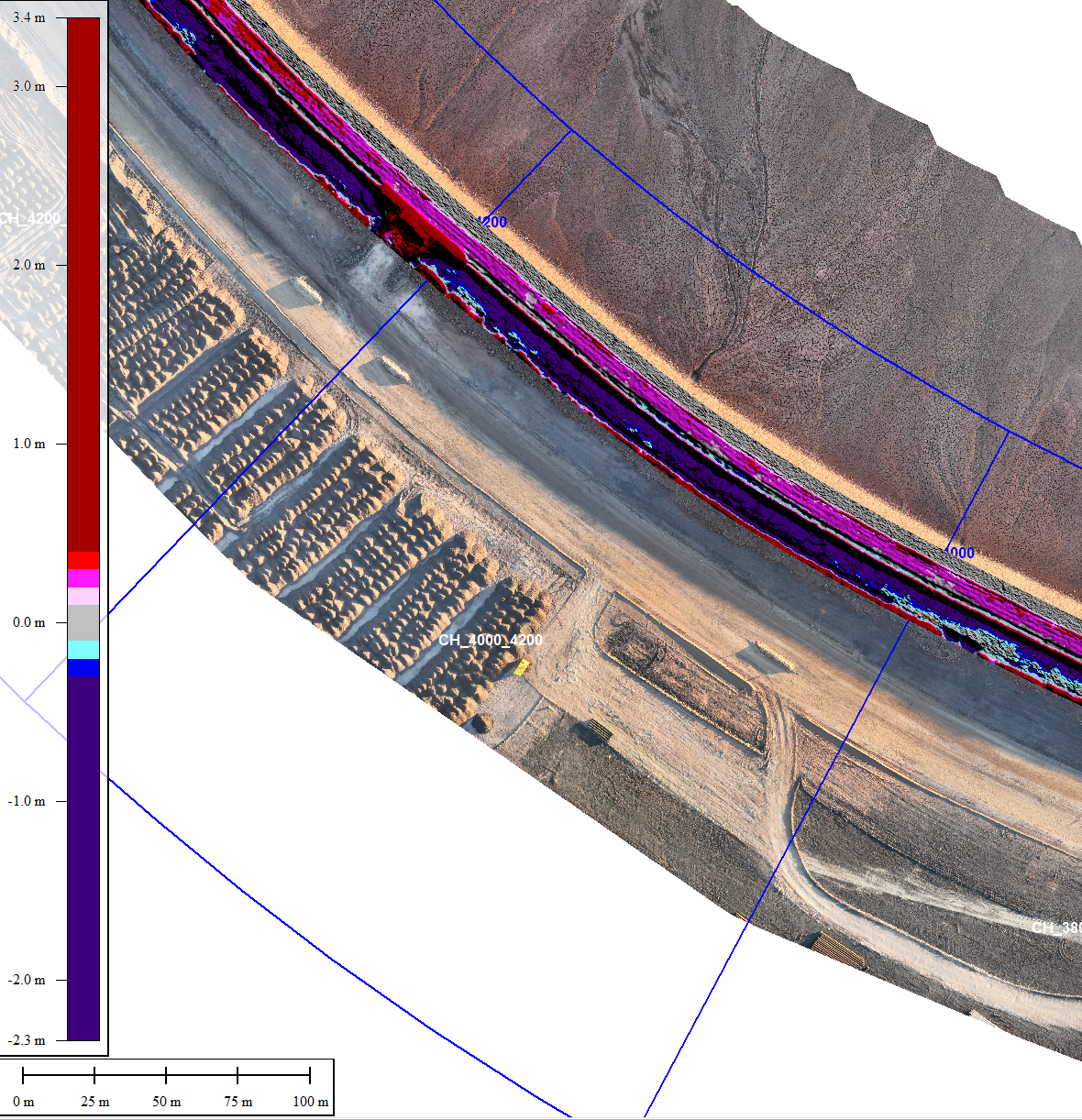
- Strayos – a powerful AI insights tool that transforms raw data into useable information by adding value to operational decisions and workflow – including for survey, open pit, as well as drill and blast applications.
- Esri ARCGIS – a deep learning tool which uses artificial intelligence for object detection by analysing unique features over many layers of an object.
These tools allow you to create proprietary analytical models or algorithms, trained on your own practical experience, allowing you the ability to automate a decision-making process or workflow in real-time.
Embrace the (autonomous) future
While military drone applications are getting most of the attention currently, it’s imperative we all be ready for the new wave of autonomous drone swarms operating within our workplace – a human will always be there to setup, program and maintain these devices in one form or another. Well, at least for the time being.
.png)